Rangitaiki River
Location: Murupara, Northeastern New Zealand
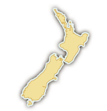
The Rangitaiki’s headwaters lie on the northeastern slopes of the Ahimanawa Range on the North Island of New Zealand, and the river flows 155 miles northeast until it empties into the Bay of Plenty at Thornton. Rafting trips on the Rangitaiki River generally commence in Murupara, 45 minutes drive from Rotorua on State Highway 38 and a 1 hour drive from Taupo.
Go Rafting with A Commercial Outfitter
Rafting.com is currently seeking qualified outfitters for Featured Listings in this region. If you are a local rafting outfitter and would like to see your company listed here, please contact us for more information.
Level of Difficulty: Class III-IV / Beginner – Intermediate
The Rangitaiki River is rated Class III-IV. Its rapids are generally composed mostly of rolling waves with very few rocks to avoid, making it a suitable rafting trip for families and people looking for a more relaxing and scenic adventure.
The Canyon: Deep, Lush Canyon with Waterfalls
A whitewater rafting trip on the Rangitaiki begins at the base of spectacular Aniwhenua Falls, an impressive waterfall surrounded by sheer rock walls. An appropriate beginning, Aniwhenua Falls sets the tone for the rest of the trip. Flowing through Kaingaroa Forest, the river winds past several other waterfalls, through a unique mixture of native forest and one of the world’s largest planted exotic forests. Sheer vertical walls are lined with native bush, pine forests, and interesting geologic formations.
The Season: Year-round
Whitewater rafting can be enjoyed on the Rangitaiki River all year!


